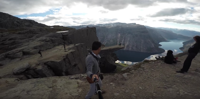
NordenBladet – Popular tourist destinations in Norway are now available on Google Street View Nature. This feature can be used by tourist who are planning on visiting these destinations so that they can better idea of what the terrain is like. Google Norway believes that this will make hiking safer and decrease the amount of rescues on hiking trails.
Anybody can apply to use Google Norway’s Street view equipment to help them on their mission of recording all of the trails in Norway. The equipment consists of a backpack with 15 cameras that weighs about 20 kilograms. It takes pictures every couple of seconds, which are later put together to create a 360 degree panorama that can be viewed in Google Maps.
“We receive far more application than we have the capacity to accommodate,” Press Manager Helle Skjervold told NRK.
Director of Culture for the Municipality of Odda, Lage Thune Myrberget is excited about the project and believes that it will help prevent dangerous situations that occur when tourists aren’t prepared.
“Consider tourists in Australia, China, USA, Canada that want to come here. This gives them a totally unique opportunity to experience the trip as they plan it. They can see how challenging the first kilometer is,” Myrberget tells NRK.
He hopes that if prospective tourists make use of this new feature, then there will be fewer occurrences of people needing to be saved from the trails due to lack of preparation.
Photo: Trolltunga or “Troll Tongue” in Odda, Hordaland County, Norway (NordenBladet)
