NordenBladet – Some parts of Iceland tremble more than others, and last year, a total of 22,000 tremors registered on the Reykjanes* peninsula, Southwest Iceland, Morgunblaðið reports. Most of those were less than 3 in magnitude. This continuous seismic activity began in the town of Grindavík on January 26 last year. This was followed by an inflation of the surface – first by a couple of centimeter, then more, presumably due to magma accumulating under the surface.
“There is more seismic activity on the Reykjanes peninsula than we’ve seen before,” states Kristín Jónsdóttir, earthquake hazards coordinator at the Icelandic Met Office. It is the largest seismic activity since digital measurements began in 1991.
The activity has for the most part been concentrated in the area from the southwestern tip of Reykjanes to Kleifarvatn lake in the east, but during the past few months, the activity and source of the tremors have been moving farther east, toward Krýsuvík. On October 20 last year, the source of an earthquake of magnitude 5.6 was not far from Djúpavatn lake.
The tectonic plate boundary of the Reykjanes Ridge runs from west to east across the Reykjanes peninsula. This is where the North-American tectonic plate meets the Eurasian one, sparking the idea for the so-called Bridge Between Continents near Sandvík, popular among tourists.
On average, the plates move away from each other by about one cm a year, but during the past semesters, the movement in certain areas in Reykjanes has been up to 16 cm (6 in).
Kristín assumes that pressure is building up in the earth between Kleifarvatn lake and Bláfjöll mountains, which can only be released in a large earthquake. Two such, of magnitude 6.3 and 6, occurred in 1929 and 1968. Their source was near Brennisteinsfjöll mountains, east of Kleifarvatn lake.
Björn Oddsson, geophysicist and program director for the Department of Civil Protection and Emergency Management, states that the Reykjanes peninsula is constantly being monitored. A phase of uncertainty (the lowest alert phase) will remain in place there while seismic activity is above average.
____________________________
*Reykjanes is a small headland on the southwestern tip of Reykjanesskagi in Iceland. The region is about 9 km (5.6 mi) from Iceland’s international airport.
There was a prolonged period of constant volcanic activity on the peninsula, the Reykjanes Fires, from the 10th to the 13th century; between 1210 and 1240 about 50 square km of land were covered in lava. The area is fed by five volcanic systems; geological evidence suggests that they seem to activate in a coordinated way about every 1,000 years.
In the twelve weeks from 21 January 2020, after centuries of relative inactivity, there were more than 8,000 earthquakes and about 10 cm of land uplift due to underground magma intrusions on the peninsula, leading to concerns of a new phase of activity which could cause disruption for centuries.
As the name means “smoking peninsula” connected to volcanic activity, there are also other peninsulas by this name in Iceland, e.g. the peninsula of Reykjanes in Ísafjarðardjúp.
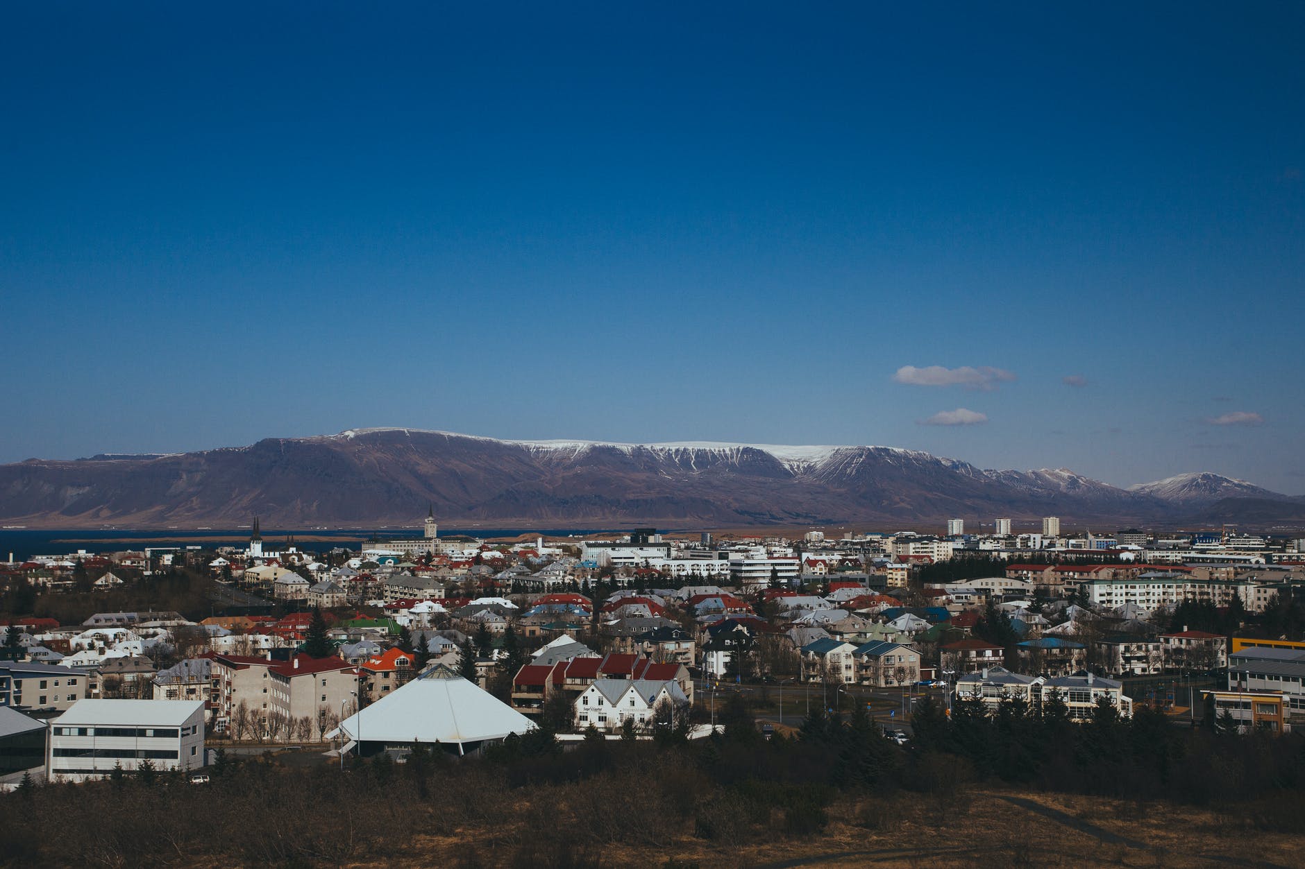
Featured image: Iceland (Pexels)

